The Role of Technology in Heritage Conservation
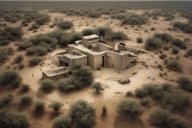
Technology plays a pivotal role in the realm of heritage conservation, reshaping traditional approaches and opening up new possibilities for safeguarding our cultural legacy. The integration of cutting-edge tools and innovations has brought about a seismic shift in how we perceive, protect, and promote historical sites around the globe. From the intricate details captured by 3D scanning to the immersive experiences offered by virtual reality, the impact of technology in heritage conservation is profound and multifaceted.
3D Scanning for Preservation
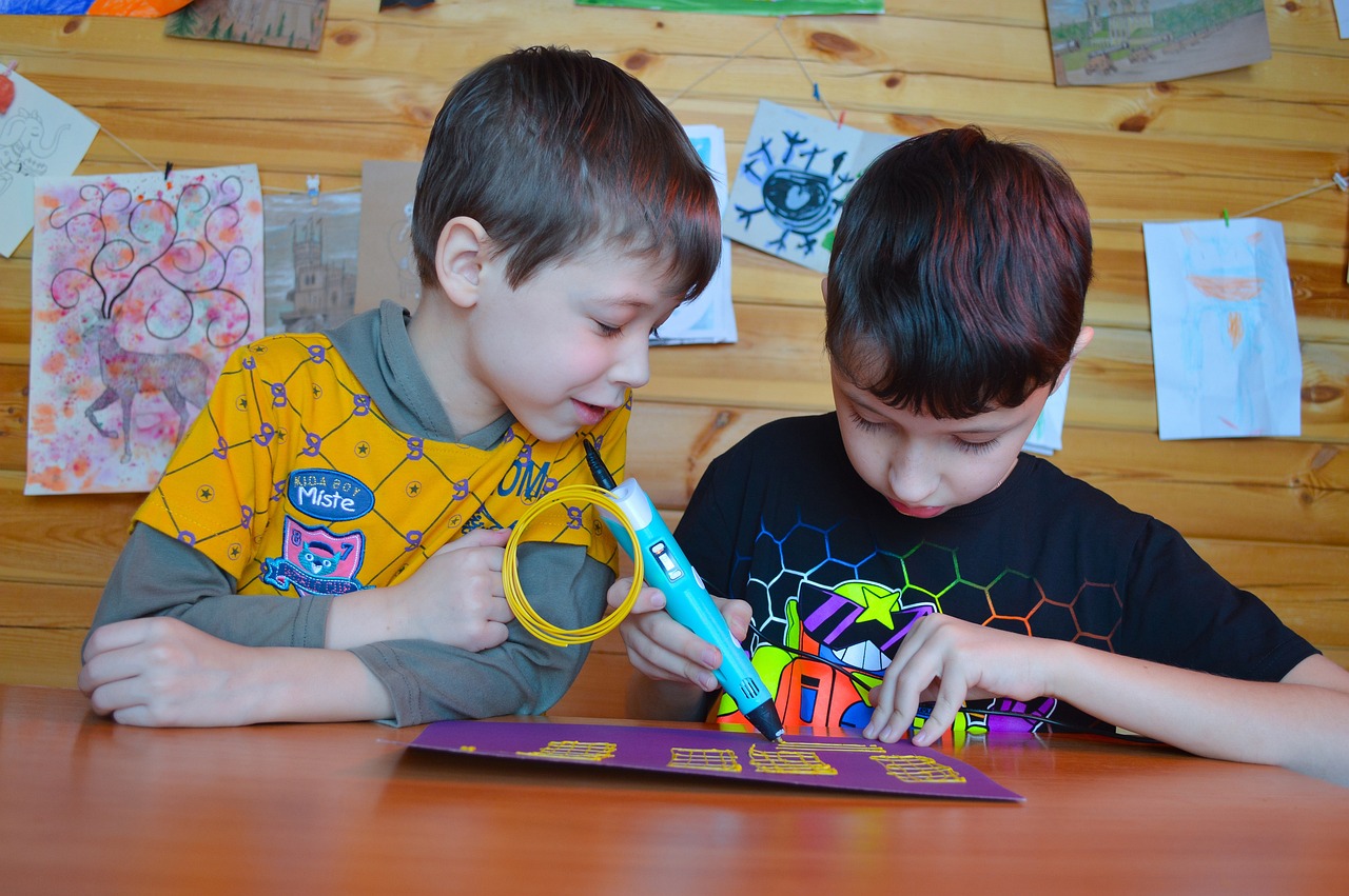
3D scanning technology has emerged as a powerful tool in the realm of heritage conservation. By capturing detailed digital replicas of cultural sites, 3D scanning plays a crucial role in preserving these historical treasures for future generations. The ability to create accurate and intricate models of heritage sites aids conservation efforts by providing a meticulous documentation of the existing structures. This technology not only assists in the restoration work but also serves as a valuable resource for researchers and historians seeking to study and understand these sites in depth.

Virtual Reality in Heritage Education
Technological advancements are transforming heritage conservation efforts worldwide. This article explores how tools like 3D scanning, virtual reality, and drones are revolutionizing the preservation and documentation of cultural heritage sites.
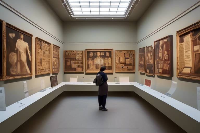
Virtual reality experiences offer immersive ways for people to explore and learn about heritage sites, enhancing public engagement and understanding of cultural significance. By providing interactive and educational experiences, virtual reality technology is bridging the gap between the past and the present, allowing users to step into the history of these sites as if they were there themselves.

Drone Technology for Site Mapping
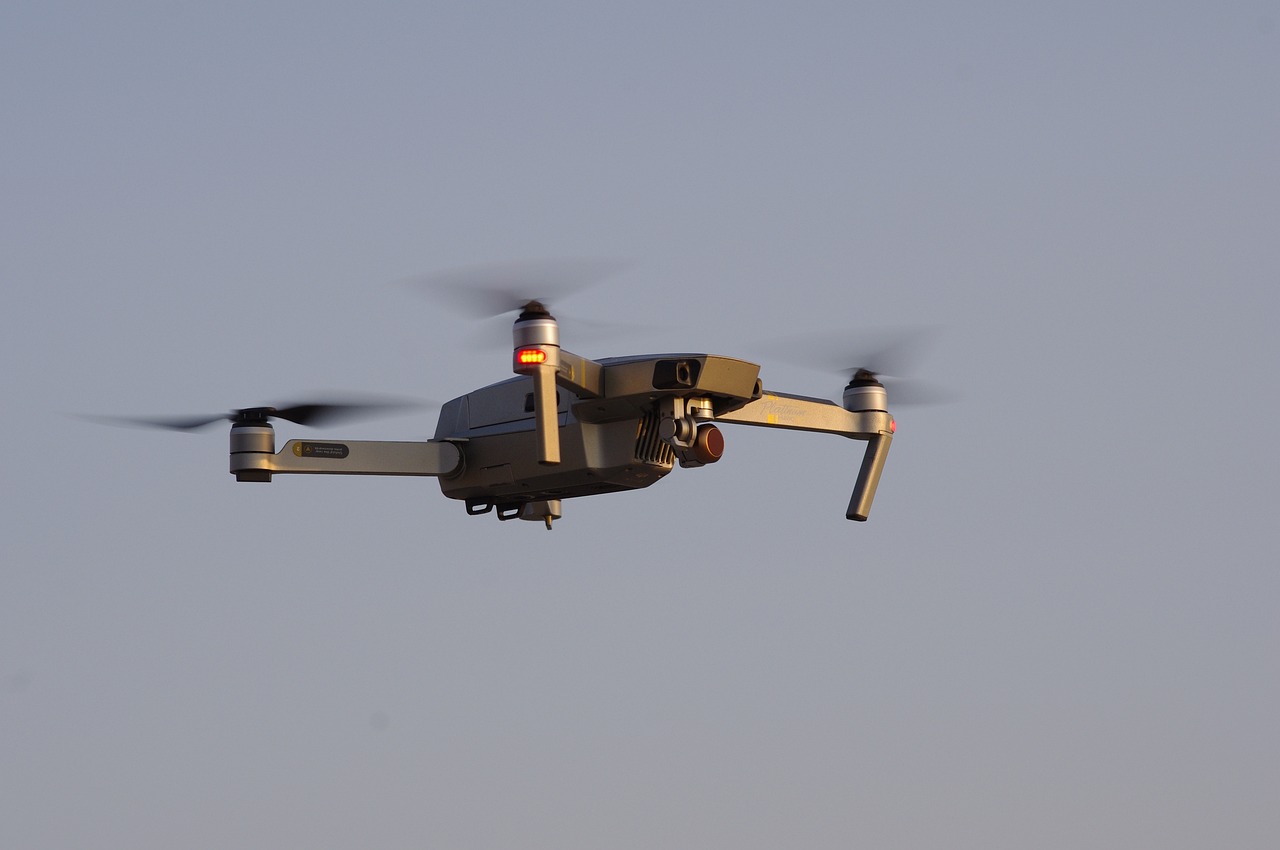
Drone technology has emerged as a game-changer in the field of heritage conservation, particularly in the crucial task of site mapping. These unmanned aerial vehicles offer a bird's eye view of heritage sites, capturing high-resolution imagery that aids conservationists in creating detailed maps and monitoring the condition of these invaluable locations. By utilizing drones, experts can access areas that are otherwise difficult to reach on foot, allowing for comprehensive documentation and analysis of heritage sites.
Augmented Reality Enhancements
Technological advancements are transforming heritage conservation efforts worldwide. This article explores how tools like 3D scanning, virtual reality, and drones are revolutionizing the preservation and documentation of cultural heritage sites.
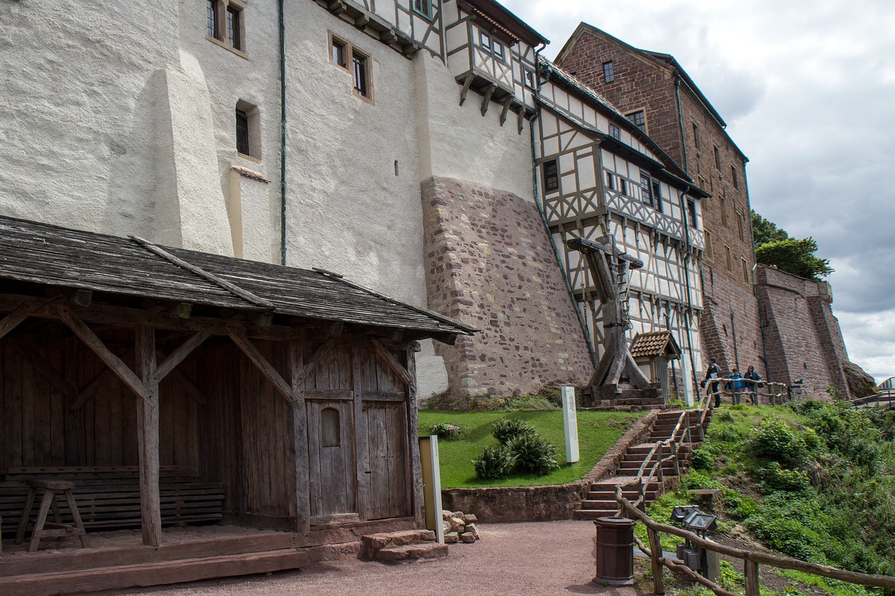
Augmented reality applications overlay digital information onto real-world heritage sites, offering interactive experiences that blend past and present for visitors. By superimposing historical images, videos, or 3D models onto the physical environment, augmented reality enhances the visitor experience, providing a unique perspective on the site's history and significance.

Data Management and Preservation
Technological advancements are transforming heritage conservation efforts worldwide. This article explores how tools like 3D scanning, virtual reality, and drones are revolutionizing the preservation and documentation of cultural heritage sites.
3D scanning technology allows for detailed digital replicas of heritage sites, aiding in conservation efforts by providing accurate documentation and facilitating restoration work.
Virtual reality experiences offer immersive ways for people to explore and learn about heritage sites, enhancing public engagement and understanding of cultural significance.
Drones provide aerial views and high-resolution imagery of heritage sites, assisting conservationists in mapping and monitoring areas that are difficult to access on the ground.
Augmented reality applications overlay digital information onto real-world heritage sites, offering interactive experiences that blend past and present for visitors.
Advanced data management systems help in organizing and preserving vast amounts of information related to heritage sites, ensuring data integrity and accessibility for future generations. These systems play a crucial role in maintaining the integrity of historical records and artifacts, safeguarding them for posterity. By efficiently managing data, heritage conservationists can track changes, analyze trends, and make informed decisions to protect and preserve cultural heritage sites effectively.
Remote sensing technologies like LiDAR and satellite imaging enable detailed analysis of heritage sites, aiding in the detection of changes and potential threats to conservation.
Geographic Information Systems (GIS) are used to analyze spatial data for effective heritage conservation planning, helping to prioritize areas for protection and restoration.
Digital archiving tools allow for the creation of comprehensive databases and repositories for heritage documentation, safeguarding valuable information for research and conservation purposes.
Remote Sensing Techniques
Remote sensing technologies play a crucial role in the conservation of heritage sites by providing detailed insights and analysis. LiDAR (Light Detection and Ranging) technology, for example, uses laser pulses to create highly accurate 3D models of the terrain, allowing conservationists to detect subtle changes in the landscape over time. Satellite imaging, on the other hand, offers a bird's eye view of heritage sites, enabling researchers to monitor environmental changes and potential threats from afar. By utilizing these remote sensing techniques, conservation efforts can be more proactive and informed, ensuring the long-term preservation of our cultural heritage.
Conservation Planning with GIS
Conservation planning with Geographic Information Systems (GIS) plays a crucial role in the effective management and preservation of heritage sites. GIS technology allows conservationists to analyze spatial data, identify vulnerable areas, and prioritize conservation efforts. By integrating various data layers such as topography, vegetation, and historical records, GIS enables experts to create comprehensive conservation plans that take into account the unique characteristics of each heritage site.
Through GIS, conservationists can assess the impact of environmental factors, human activities, and natural disasters on heritage sites. This data-driven approach helps in developing strategies to mitigate risks, implement preventive measures, and ensure the long-term sustainability of cultural landmarks. By utilizing GIS tools, conservation planners can make informed decisions based on spatial analysis and modeling, leading to more efficient resource allocation and targeted conservation interventions.
Furthermore, GIS facilitates collaboration among multidisciplinary teams involved in heritage conservation projects. By sharing spatial data, conducting virtual simulations, and visualizing conservation scenarios, stakeholders can work together to develop integrated conservation plans that address the complex challenges faced by heritage sites. GIS also enables monitoring and evaluation of conservation initiatives, allowing for adaptive management strategies that respond to changing conditions and emerging threats.
In essence, Conservation Planning with GIS empowers conservationists with the tools and insights needed to safeguard our cultural heritage for future generations. By harnessing the power of spatial analysis and data visualization, GIS enhances the efficiency, effectiveness, and sustainability of heritage conservation efforts, ensuring that our shared history and identity are preserved for years to come.

Digital Documentation and Archiving
Digital documentation and archiving play a crucial role in heritage conservation efforts by providing a comprehensive and organized repository for valuable information related to cultural heritage sites. Through the use of digital archiving tools, historians, researchers, and conservationists can create detailed databases that safeguard important data for future generations.
These digital archives not only store information but also facilitate research and conservation activities by allowing easy access to historical records, photographs, maps, and other documentation. By digitizing and archiving these materials, the risk of physical damage or loss due to natural disasters or human activities is significantly reduced.
Furthermore, digital documentation enables the preservation of fragile artifacts and structures in a virtual environment, ensuring that even if the physical objects deteriorate over time, their digital representations remain intact for study and appreciation.
Archiving digital data also aids in collaboration among experts in the field of heritage conservation, as information can be easily shared and analyzed across different platforms and locations. This sharing of knowledge and resources enhances the collective efforts to protect and preserve cultural heritage sites around the world.
Frequently Asked Questions
- What is the significance of 3D scanning in heritage conservation?
3D scanning plays a crucial role in heritage conservation by creating accurate digital replicas of cultural sites. These detailed models help in documentation, restoration, and preservation efforts by providing a comprehensive understanding of the site's structure and condition.
- How does virtual reality contribute to heritage education?
Virtual reality offers immersive experiences that allow individuals to explore heritage sites virtually. This technology enhances public engagement and educational outreach by providing interactive and engaging ways to learn about the historical and cultural significance of these locations.
- What are the benefits of using drones for mapping heritage sites?
Drones provide aerial perspectives and high-resolution imagery that aid in mapping and monitoring heritage sites. They enable conservationists to access hard-to-reach areas, gather data for analysis, and create detailed visual documentation essential for effective site management and preservation.
- How does augmented reality enhance visitor experiences at heritage sites?
Augmented reality applications overlay digital information onto real-world environments, offering visitors interactive and immersive experiences. By blending historical data with present surroundings, augmented reality enhances the understanding and appreciation of heritage sites in a unique and engaging manner.
- Why is data management crucial for heritage site preservation?
Advanced data management systems play a vital role in organizing and preserving vast amounts of information related to heritage sites. These systems ensure data integrity, accessibility, and long-term preservation, facilitating research, conservation planning, and sustainable management of cultural heritage.


